Pre-colonial Africa was rife with strong traditional empires and kingdoms. In the West, we had the Mandinka Empire, the Songhai Empire, as well as the Mali Empire. In the North, we had the Kingdom of Aksum, the Kingdom of Kush, and even Carthage. In the South, we had the Zulu Kingdom. As for the East, we had the Buganda Empire.
The Buganda Empire, located in what is today Uganda, might as well have been the most powerful kingdom in this region, whether socially, politically or economically. Their military was so strong that, through wars, they had managed to gain control over the region to the west of the Nalubaale Lake (what is today known as Lake Victoria) and subjugated all the weaker communities.
Their political system was akin to a modern-day government. They had a Legislature, Judiciary and Executive. Some of the members of the government included the:
Kabaka – King
Katikiro – Prime Minister
Lukiiko - Parliament
Omulamwuzi – Chief Justice
Omwanika - Treasurer
Batongole – Administrative Chiefs
Hills
Each of the Kabakas, upon ascension to power, had the liberty to choose where their kibuga (capital) would be located. The most strategic location was among the hills that were located in the south-eastern region close to the lake.
Kabaka Mutesa I, who reigned from 1856 to 1884, initially chose Banda Hill as the kibuga for his kingdom but later moved it to Lubaga Hill. Kabaka Mwanga II came next, from 1884 to 1897, and subsequently moved it to Mengo Hill.
The British
It was during his reign, that the Scramble & Partition of Africa happened, and the British got the East African Protectorate under their wing. William Mackinnon, through his company, the Imperial British East Africa Company (IBEACo), got a charter to rule over this protectorate, and so, he sent his agents.
Frederick Lugard, who was IBEACo’s foremost agent, got to Buganda in the year 1890, and after consultations with Kabaka Mwanga II, signed a treaty of protection by the British government over Buganda.
He was, therefore, to be allocated one of the hills in the kingdom, upon which he would set up a fort for his company. Kabaka Mwanga II decided to allocate to him the hill with a grassy wetland/swamp that had become a breeding ground for impalas and antelopes. Upon setting up his fort, Lugard named it ‘the hill of the impalas’.
In Baganda, this was translated to ‘Kasozi K’empala’, with:
- kasozi meaning ‘a hill’
- k’ meaning ‘of’
- ‘empala’ meaning ‘impala’.
Over time, they ended up referring to it as ‘K’empala’, which the British understood as ‘Kampala’, and that ended up sticking as its name.
Expansion of British control
In the years towards the end of the century, the British opened the first Western education school – Mengo Senior School, and three Western-style hospitals – Mengo Hospital, Lubaga Hospital and Mulaga Hospital.
At the turn of the century, the British and the Buganda signed an agreement, known as the Buganda Agreement of 1900, which formed the basis of the relationship between the two parties, and formalized British colonial rule in Uganda.
Among the deals in the agreement, was the creation of new land tenures, such as freehold, crown and mailo, which would define how land would be divided and allocated. The permanent ownership of land in the hills was mostly accorded to those who occupied them at the time of this agreement.
What this meant was that the Kabaka would retain Mengo Hills, which was the kibuga of the Buganda Kingdom at the time. The other main parties were the religious parties that had set camp in the Kingdom. The Catholic White Fathers got Lubaga Hill, the Protestant Church Missionary Society got Namirembe Hill, the Muslims received Kibuli Hill, and the Catholic Mill Hill Missionaries received Nsambya Hill.
What was left, that is the Nakasero Hill and the Kampala Hill, where Frederick Lugard had already set his fort, remained to the Uganda Protectorate government. These two hills, covering a total of 5km2, were gazetted as the Kampala Township.
In 1931, the Uganda Railway finally reached Kampala, connecting Kampala to the port of Mombasa. This necessitated some growth in the town, and so, a new physical plan was designed by German architect Ernst May and British Architect Henry Kendall. This design intended the expansion of Kampala eastwards to incorporate Kololo Hill and Naguru Hill, thus, increasing the size of Kampala to 28 km2.
It was only in 1968, six years after Uganda had gained independence and Kampala had been granted city status, that its boundaries were expanded to incorporate all the hills, including what was the kibuga of the Buganda Kingdom – the Mengo Hills. This increased the administrative area of Kampala to 189 km2.
And thus, Kampala, the hill of the impalas, grew to what it is today.
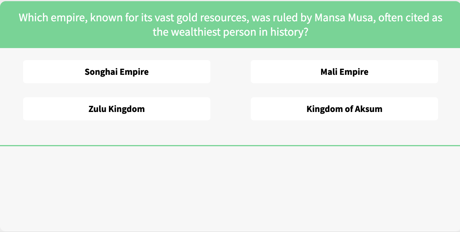
African Kingdoms Trivia
Think you know Africa’s ancient kingdoms? Test your royal knowledge with our fun trivia and uncover fascinating facts!
Click the photo below to take the quiz and challenge your friends and family - who will be crowned the history champion?
And that wraps it for today!
Enjoy This Newsletter?
Forward it to a friend, and let them know they can subscribe here.
Whenever you need help translating any African language, help is available here.
Remember, it is time to tell our stories.
Till next time, Mike.
Join the Lughayangu Community!


